Plan the drive, not just the destination.
Line up your stops and SetOff works out the route, the driving time and what the fuel will cost — climbs included.
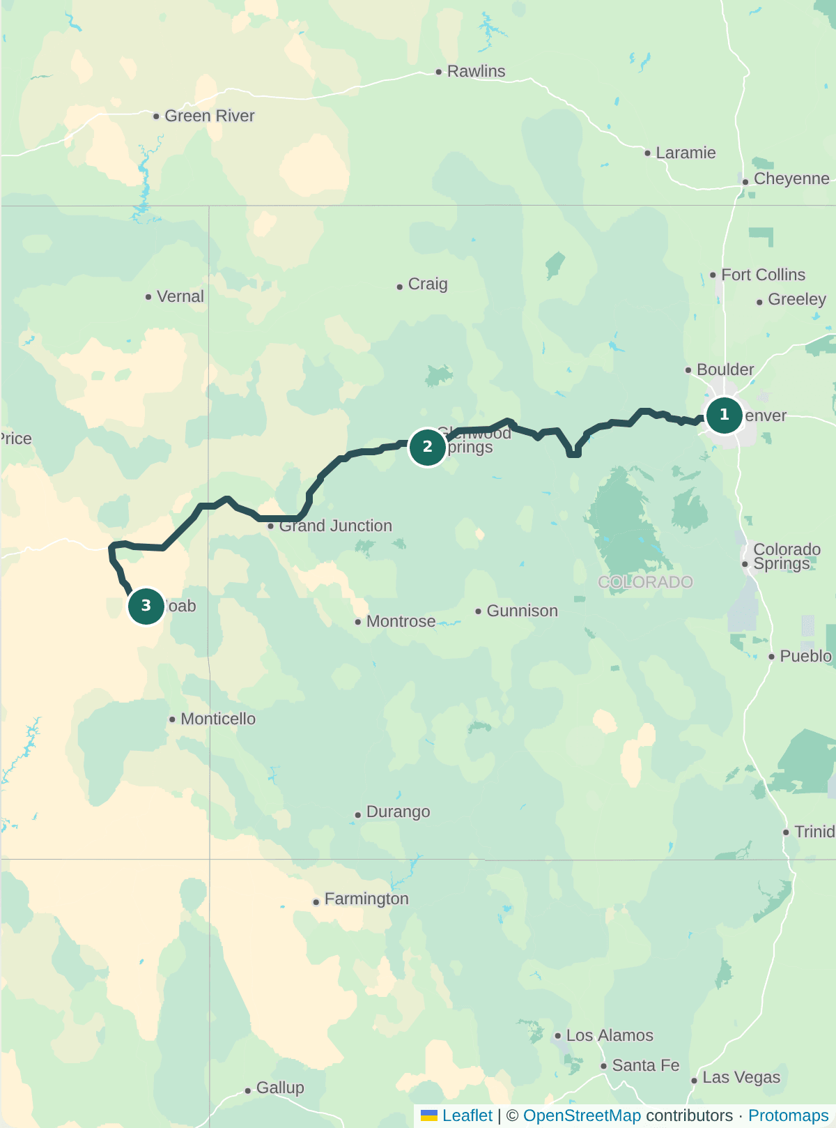
Stops in, route out
Search for a place, paste coordinates, or paste a Google or Apple Maps link that shows a location. Reorder stops by dragging and the route recalculates on its own.
Fuel cost that counts the hills
Tell SetOff about your car and fuel and it estimates the cost of the drive and warns you about any stretch longer than a tank. Pick your car from the official lookup and the estimate also adds the extra fuel that climbs burn.
- Look up your car's official MPG by year, make and model
- Mark fuel stops along the route and enter what a gallon costs
- Total climb in feet, with hilly routes flagged
- A warning when a stretch would dip into your fuel reserve
Example inputs, entered by hand: 30 mpg, $3.50/gal. Pick your car from the official lookup and the estimate also adds the extra fuel that climbs burn.
Find places along the way
Search a corridor along your route for fuel, food, places to stay, rest areas and attractions, then add any of them as a stop.
Good to know
- Routing covers the United States.
- Add your car's details to calculate a route; fuel figures are estimates from the MPG, tank size and fuel cost you enter.
- Ferry crossings are shown separately and don't count as miles driven for fuel.
Plan the trip. Keep the friends.
Start a trip in under a minute — no app to install.